
By Thomas Fudge / Science and Technology Reporter -kpbs
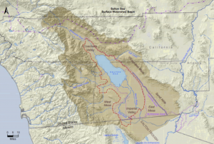
Before the Colorado River was tamed by dams and dikes it was a free flowing, flooding river that often changed course, sometimes dramatically. Though it typically flowed south to the Gulf of California, in years of powerful floods it would flow into the Salton Sea Basin, and fill it up to form what we call Lake Cahuilla.
Since about 612 B.C. Lake Cahuilla has filled up seven times, the last time in 1733. The flooding Colorado would create a huge lake that stretched from what’s now Palm Springs, California in the north to well beyond Mexicali, Mexico in the south.
Thomas Rockwell is a geology professor at San Diego State who examined charcoal and other organic matter to determine when the lake filled and receded.
“Before we dammed up the Colorado River, the Colorado River would flood, seasonally. And during six of these periods in the last 1,100 years, the Colorado flowed, unabated, into the Salton trough, and filled Lake Cahuilla to an elevation of about 40 feet,” said Rockwell.
Rockwell adds that when it filled with Colorado River water the lake would be 100 meters deep at its deepest part and, as Rockwell says, it would have an elevation of 13 meters (40 feet) above sea level. It would dry up when the Colorado reset its course toward the gulf of California.
The study sheds light on the human relationship with the land. Rockwell says archeological evidence shows how American Indian populations adapted to the changing lake.
“You had various Native American communities, the Cocopah, the Cahuilla, that would live along the shoreline and fish when the water was high. The Cahuilla are known historically to farm the bottomlands when the lake wasn’t there,” he said.
The Salton Sea Basin is at the southern end of the San Andreas Fault. Rockwell said his ulterior motive, as a geologist, was to study the history of earthquakes in the region.
“Now that we have this high resolution study of lakes, we’re putting together a high resolution study of earthquakes for the last 1,100 years,” Rockwell said. “Most of the earthquakes on the southern San Andreas fault occurred while the lake was full.”
He said the weight and the pressure of a full Lake Cahuilla would weaken the strength of an earthquake fault, making it more likely to fail.
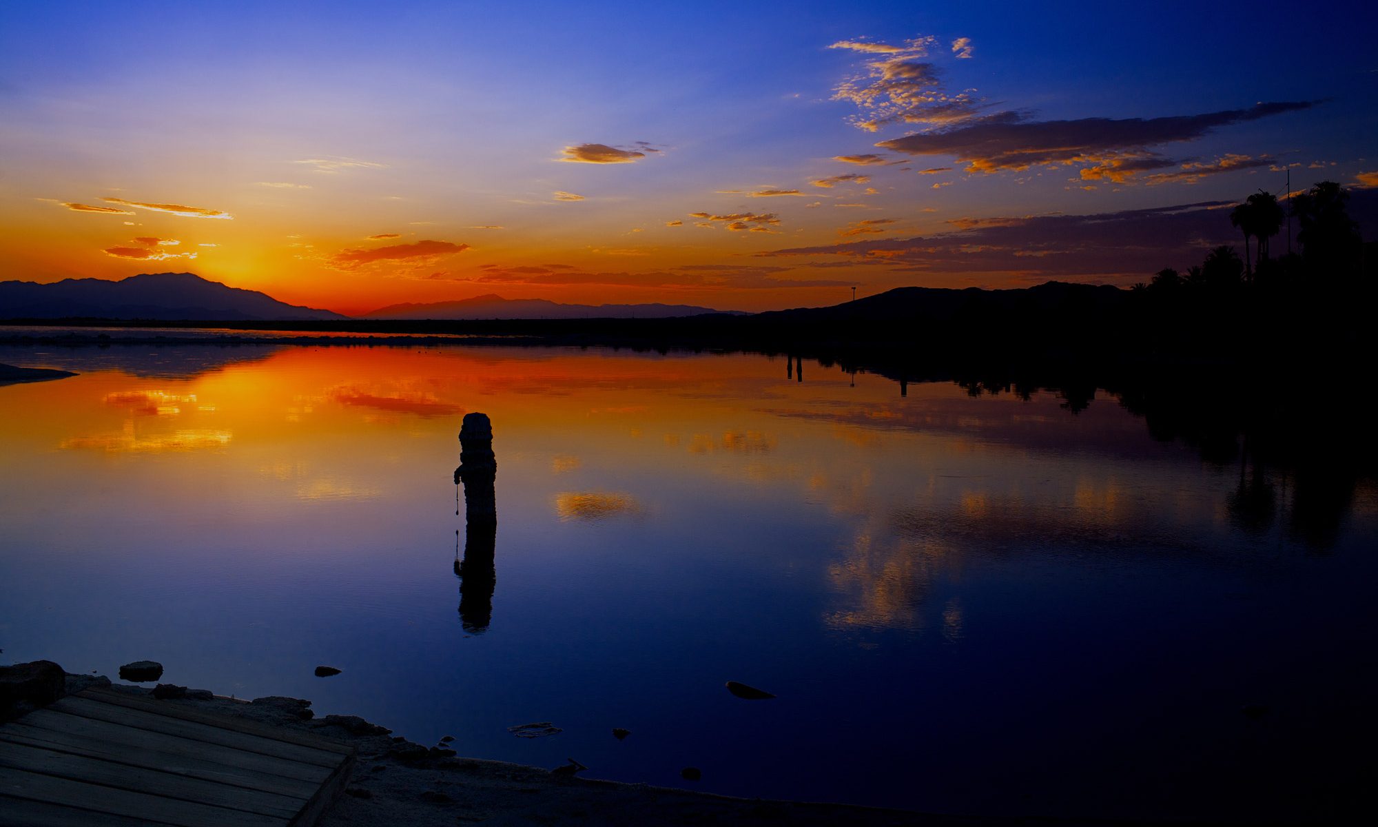
The Salton Sea was created in 1905 when the Colorado River breached a dike and flooded part of the basin. What some view as a technical failure of flood control, Rockwell sees as a natural occurrence, given the history of Lake Cahuilla.
When asked what he thought of efforts to maintain the Salton Sea, which has been sustained through farm runoff, Rockwell said he understands the importance of the Salton Sea to migratory birds. But in its natural state, he said the Salton Sea would be entirely dry today.