Geologic Hazards and the Future of the Salton Sea
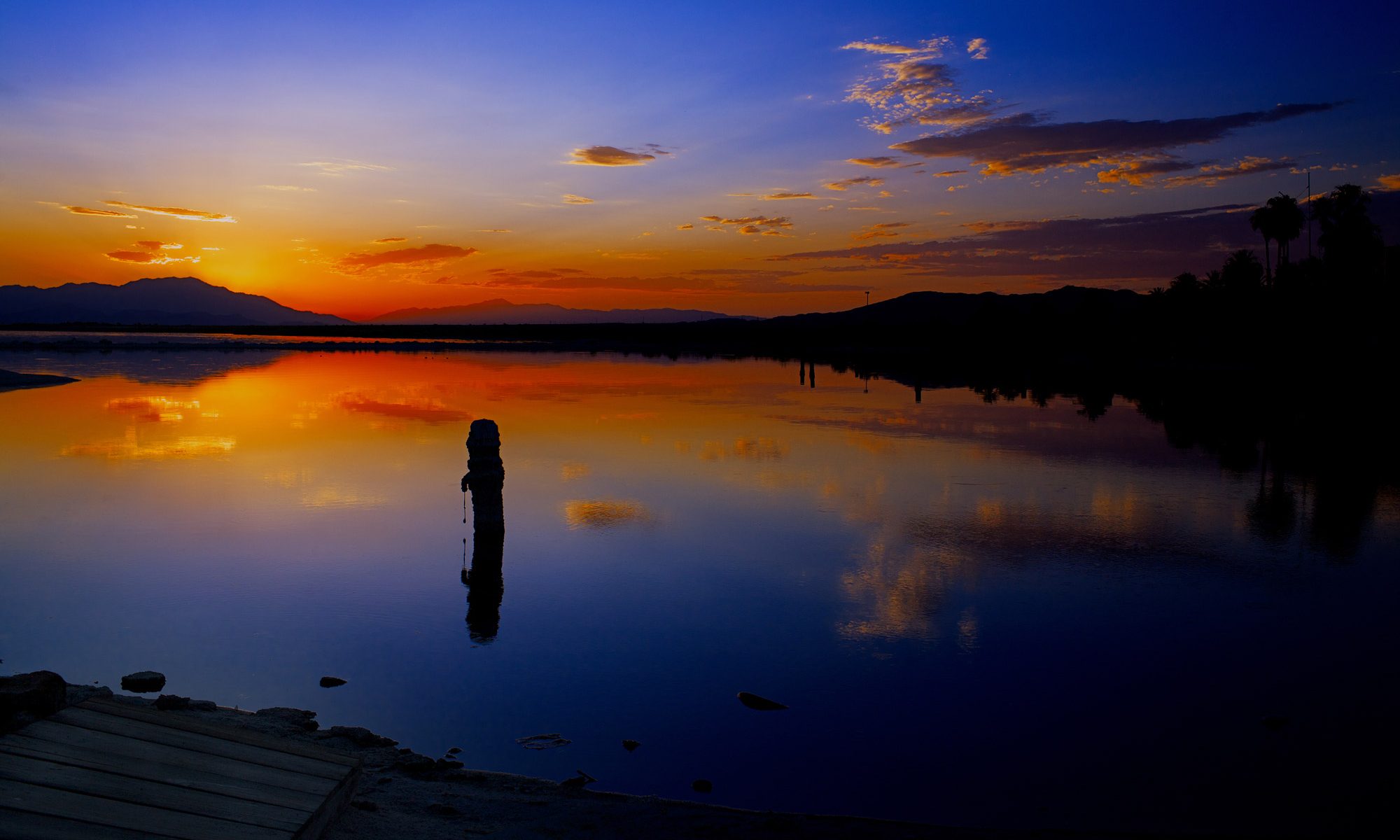
At the Salton Sea, changes in ecology, agriculture, and water rights intersect with human health, geothermal energy production, and geologic hazards. A short distance from the Mexico border, the lake is California’s largest by area, covering 343 square miles. This is changing, however, as the lake shrinks from evaporation and decreasing water input from the Colorado River. Recent changes to regional water use are also driving the rapid shrinking of the lake, leading to ecosystem collapse and increasingly frequent dust storms sourced from the dry lakebed contaminated by agricultural runoff.
This StoryMap will take you back in time to learn about the origins of the Salton Sea and discuss ongoing geologic hazards to the region around the lake. Much of the Storymap is centered around interactive maps that allow the viewer to choose how to explore the Salton Sea and surrounding region. The content of these maps comes from the USGS , Salton Sea Authority , and other organizations that study and manage the Salton Sea; a full list of reference can be found at the end. Note that many of these maps are rotated so that north is to the upper left of the screen. The data used is from publicly available sources noted at the base of each map. Although the sections of this Storymap are meant to be read sequentially; if viewers are interested, the tabs at the top of the screen link to individual sections.